Western Crete
South of the Cyclades, Crete is with 8450 km2 the largest and most populated Greek island. Located between the Aegean and the Lybian sea, it is a mountainous island dotted with ruins from the mysterious Minoan civilisation, with lively towns where Venetian and Ottoman styles blend with modern concrete chaos.
Over a four-week period in May and June 2026, we travelled around the west of the island, shooting hundreds of 360° panoramas, focusing on towns, archaeological sites and a few charming seaside villages.
We decided against visiting beaches plagued by overtourism, such as Balos and Elafonissos, going on long hikes like the one through the Samaria Gorge, or climbing Mount Psiloritis to cool off in the last patches of snow. We preferred to combine photography with dolce vita!
From the major towns on the north coast (Heraklion, Rethymno, Chania) and the seaside villages on the south coast (Paleochora, Agia Galini, Matala), via a number of archaeological sites (Knossos, Phaistos, Aptera) and some surprising places (Komolithi, Agia Sofia, Argyroupoli), our strolls allowed us to discover a fascinating island and delve into the great mysteries of history.
July 2026 - You can discover the first series of these countless 360° panoramas right now, but bear in mind that this section is still under construction and will be expanded further in the future.
At the moment, only a small selection of the panoramas we’ve shot along the way have been processed and uploaded to Google Maps and Street View. As each panorama is processed individually, the old-fashioned way, it takes us quite a while to get everything online! But you can already make some wonderful discoveries...
End of August 2026 - The 1,211 panoramic views we have shot are now all available online on Google Maps and Street View. The (small) selection we are displaying here has started to grow...
September 2026 - Our virtual strolls in Crete are now all online!
Please note: For each virtual stroll, we only show a few views on this website, but every panorama embeds Street View arrows that allow you to take the whole tour with us. We hope you enjoy a wonderful virtual trip to Crete!
360° panoramas and virtual strolls
- Agia Galini - The village where, according to legend, Daedalus and Icarus took flight (65 panoramas)
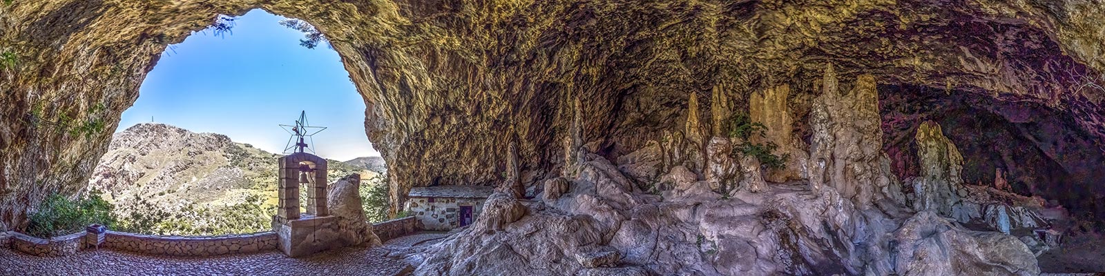
- Agia Sofia - A vast, somewhat mysterious cavern housing a small chapel (23 panoramas)
- Amigdalokefali - A magnificent view of the west coast of Crete (6 panoramas)
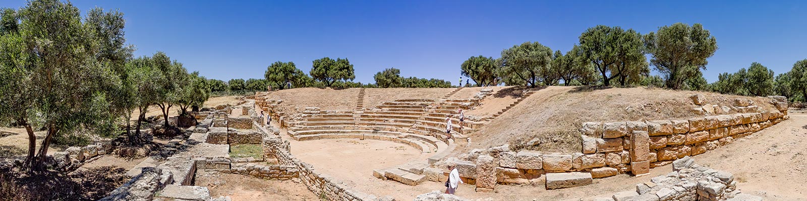
- Aptera - One of the most important Minoan archaeological sites (58 panoramas)
- Argyroupoli - A green oasis criss-crossed by numerous streams (69 panoramas)
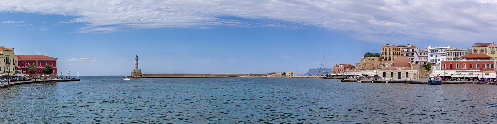
- Chania - The second-largest town in Crete, and undoubtedly the most picturesque (287 panoramas)
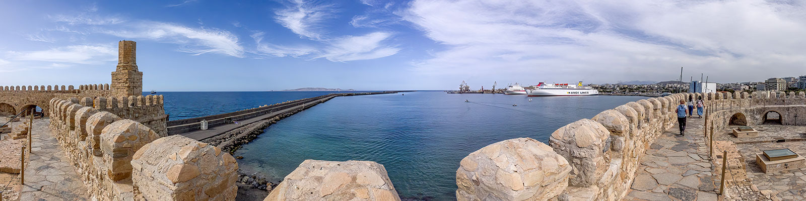
- Heraklion - The largest city in Crete, the gateway to the island (83 panoramas)
- Kissamos - An excellent starting point for exploring western Crete (67 panoramas)
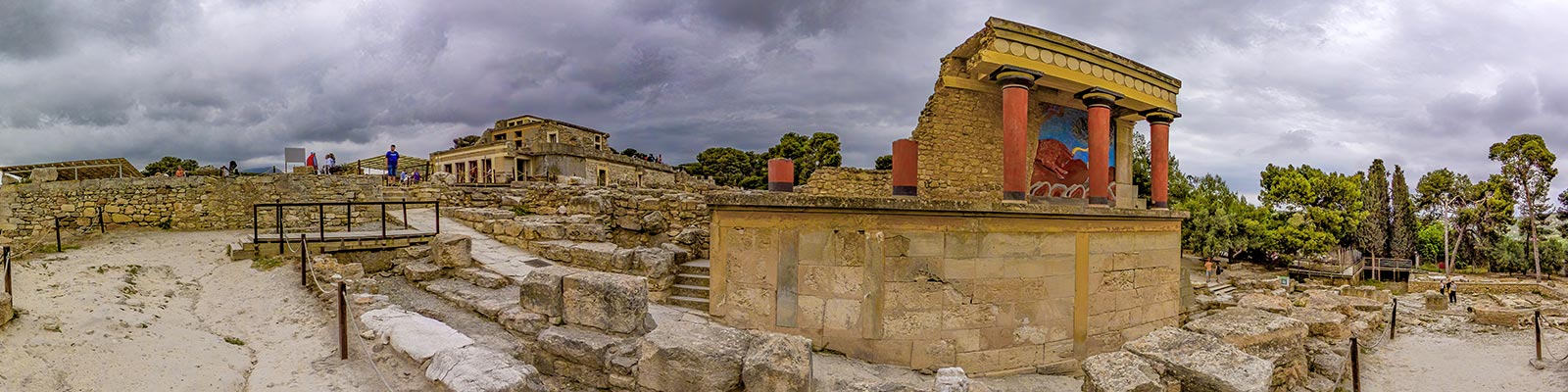
- Knossos - The ruins of what may once have been the palace of King Minos (34 panoramas)
- Kolymvári - A beautiful monastery perched above the Gulf of Chania (38 panoramas)
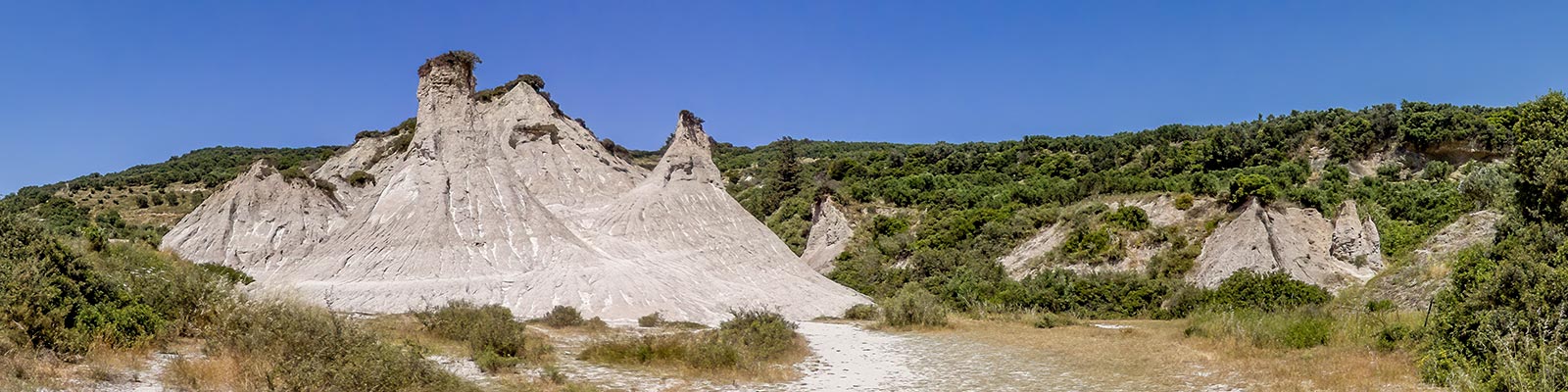
- Komolithi - One of the most striking landscapes of Crete (15 panoramas)
- Koules - An impressive Ottoman fortress overlooking Souda Bay (9 panoramas)
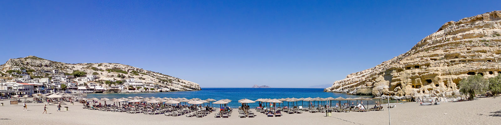
- Matala - The little hippie paradise from the 1960s and 1970s (73 panoramas)
- Paleochora - A charming seaside resort in south-west Crete (101 panoramas)
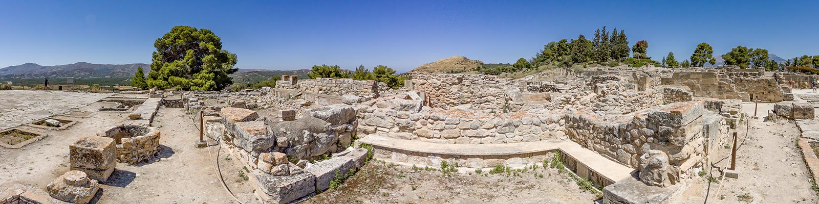
- Phaistos - The Minoan site where a mysterious, indecipherable disc was discovered (78 panoramas)
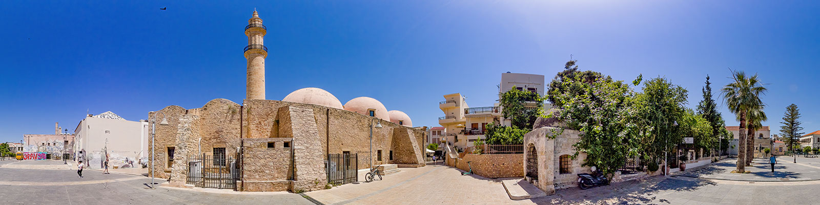
- Rethymno - A city where Venetian and Ottoman influences blend (165 panoramas)
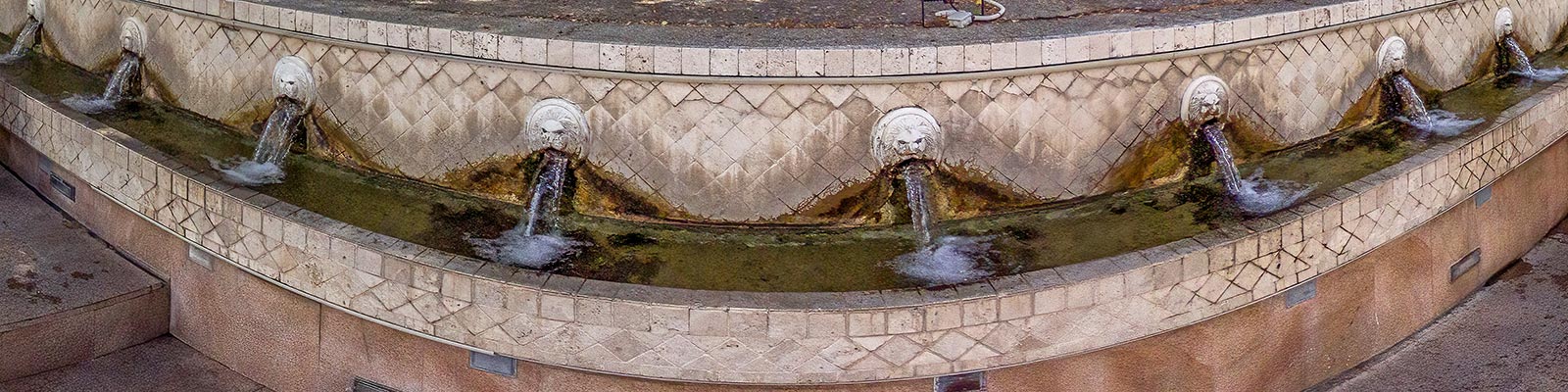
- Spili - The village where 25 lion heads spout spring water (30 panoramas)
- Topolia - A view of the deep gorge carved out by the Tiflos River (9 panoramas)

The Pictorial Guides
© fusions.ch 1988-2026
All rights reserved for all countries